"A new day, a new map" is the motto the MVC's Cartography Department. The cartographer's goal is to transform spatial (map) data into visuals that are appealing and intuitively understood by the viewer. Given our extensive warehouse of data and projects du jour, the MVC has produced thousands of maps. The most basic and sought after maps for general planning purposes are listed below. If you don't find what you are looking for, try searching our website's Resource Center for additional maps. Additionally, contact the MVC to request custom maps (fees may apply).
Archive - MVC's scanned collection of pre-GIS maps. This is a work in progress.
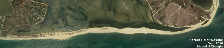
Archive - Map of the Month-ish
Animated Map Video - Building Development Thru Time
Building Development Thru Time (static maps)
Conservation Land - by Owner (last updated June 2023)
Hurricane Surge Inundation Maps
Groundwater Hydrology of MV - Delaney 1980; Map 1 of 2
Groundwater Hydrology of MV - Delaney 1980; Map 2 of 2