Shoreline Change Maps - MV
- Preferred version: https://www.mvcommission.org/node/49619/attachment
- Newest version: https://www.mvcommission.org/node/49619/attachment/newest
Description:
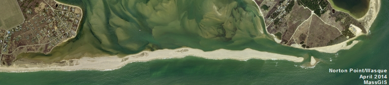
The Coastal Zone Management's historic shoreline data (from 2002 project) is displayed on aerial photos from either 2005 or 2009. Several coastal areas around the Vineyard are featured on the maps (i.e. Wasque, South Shore, Gay Head, Oak Bluffs Harbor, etc.) The shoreline data is accurate to within 28feet.
Attach File:
Document Date:
Thursday, July 26, 2012
Project Type:
Other