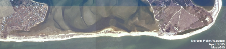
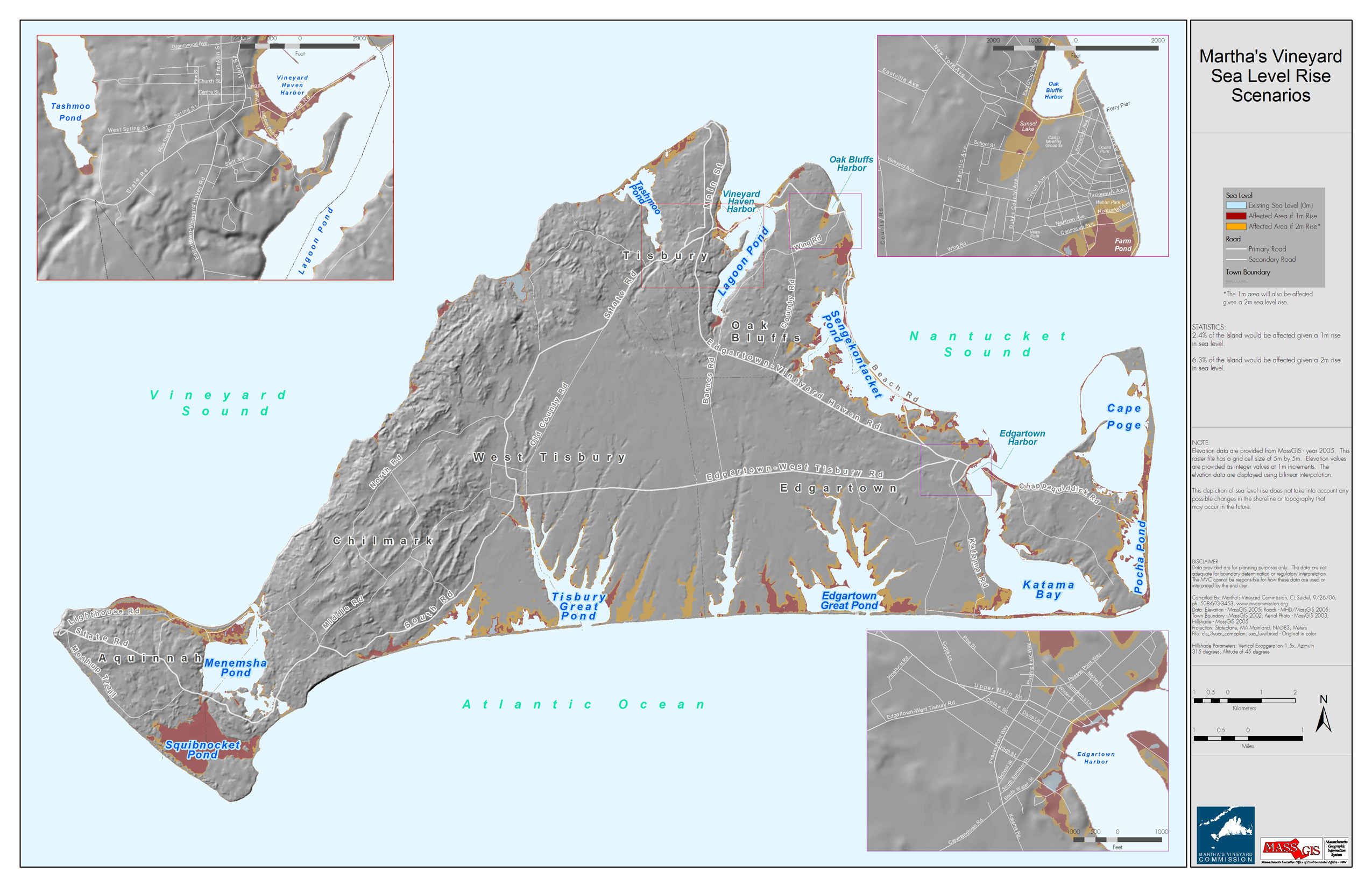
Sea Level Rise Map - Island-Wide
- Preferred version: https://www.mvcommission.org/node/47953/attachment
- Newest version: https://www.mvcommission.org/node/47953/attachment/newest
Description:
This map was created by displaying the latest elevation data (1m in red & 1-2m in orange). No special modeling was performed to account for changes in shoreline.
Keywords:
Attach File:
Document Date:
Wednesday, February 10, 2010
Project Type:
Other
Resource Type: