Wasque Over Time
- Preferred version: https://www.mvcommission.org/node/49601/attachment
- Newest version: https://www.mvcommission.org/node/49601/attachment/newest
Description:
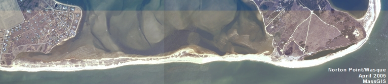
In June of 2012, some of the high tide line and cliff at Wasque Point was GPSed by the MVC. This data was then placed into Google Earth and overlayed on the various aerial photos available thru Google Earth (time span 1991 - 2012).
Keywords:
Document Date:
Wednesday, July 11, 2012
Town:
Edgartown
Project Type:
Planning Project
Resource Type: